
The Dong Nai City People’s Committee held a conference in An Phuoc commune on November 2 to announce the planning orientations for a mixed-use urban area spanning An Phuoc commune and Tam Phuoc ward in the city.
Attending the conference were Thai Bao, Deputy Secretary of the City Party Committee (CPC) and Head of the CPC’s Organization Commission; Nguyen Thi Cat Tien, Vice Chairwoman of the City People’s Committee; and representatives of relevant departments, agencies and local authorities.
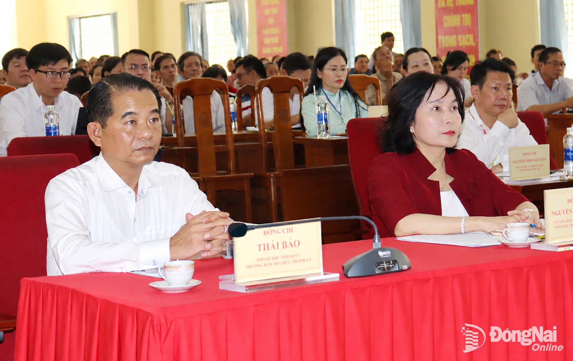 |
| Thai Bao, Deputy Secretary of the CPC and Head of the CPC’s Organisation Commission, and Nguyen Thi Cat Tien, Vice Chairwoman of the City People’s Committee, attend the conference. Photo: Hoang Loc |
Urban development tied to growth of Long Thanh Airport economy
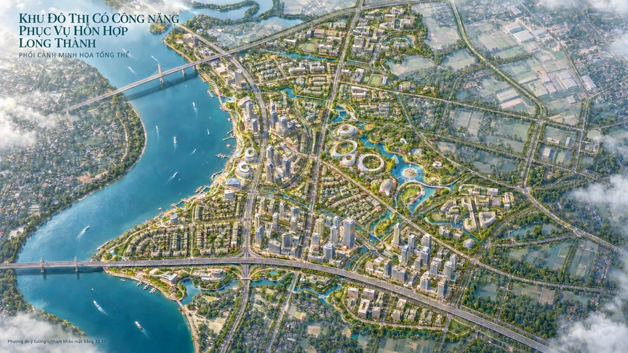
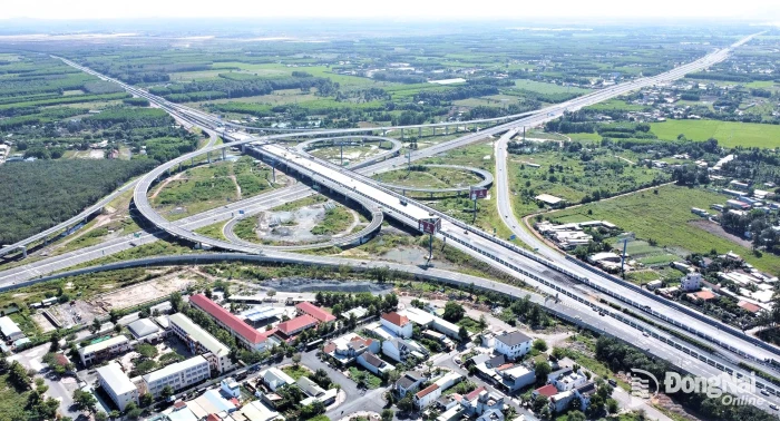
Nguyen Phong An, Deputy Director of the Department of Construction, said the planned area lies in the Southwestern part of the city, within An Phuoc commune and part of Tam Phuoc ward. It covers more than 2,250 hectares, including about 259 hectares of the Dong Nai River. To the North, it borders the corridor of the road linking to Long Hung Bridge and the Bien Hoa–Vung Tau Expressway; to the West, it borders the Dong Nai River and Ho Chi Minh City; and to the South, it borders Nhon Trach ward.
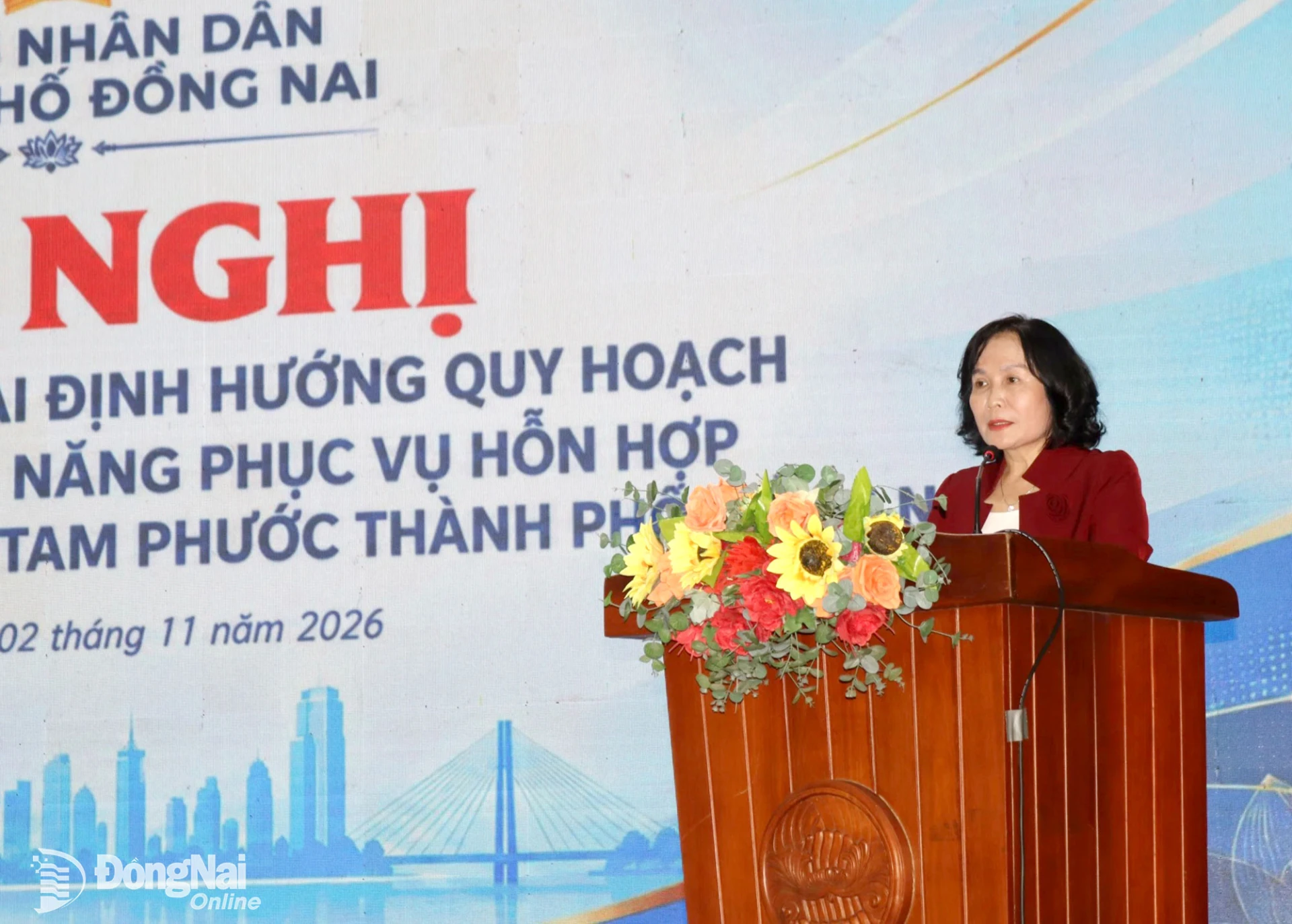 |
| Nguyen Thi Cat Tien, Vice Chairwoman of the City People’s Committee, speaks at the conference. Photo: Hoang Loc |
Given its strategic location, the area is well positioned to strengthen regional economic connectivity and develop urban, commercial and service activities along the Dong Nai River. An Phuoc commune and Tam Phuoc ward also form part of the western development zone of the Long Thanh airport urban area, where they are expected to play a role in supporting economic growth and expanding urban services.
The overall orientations are to develop a modern urban area with synchronized infrastructure and a diverse range of functions, including residential, commercial, service, educational, healthcare, cultural, sporting, tourism and research facilities. These functions will be arranged ccording to the advantages of each zone to ensure connectivity and complementarity.
 |
| Nguyen Phong An, Deputy Director of the Department of Construction, presents the project’s planning orientations. Photo: Hoang Loc |
The planned area will be divided into four main zones. The western zone will be designated for the development of a mixed-use urban area, commercial and service centres, and riverside economic activities. Most of the land earmarked for residential development will be located in this zone, alongside urban amenities and public spaces.
The Eastern zone will prioritize cultural, sporting, tourism, entertainment, educational and research facilities. The southern zone is oriented towards the development of an ecological urban area, educational facilities and low-density functional zones.
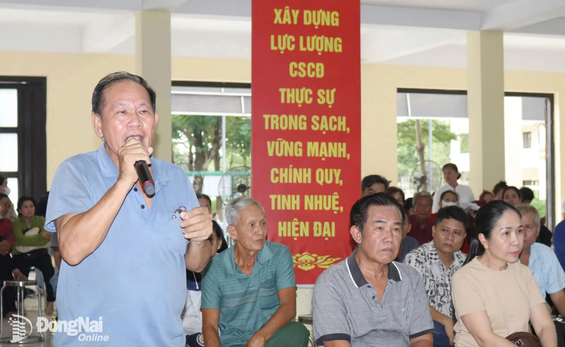 |
| Local residents express support for the proposed project at the conference. Photo: Hoang Loc |
The Northern zone is being considered for development of a university urban area, with facilities for education, training, research and innovation. Academic programmes are expected to focus on sectors that meet the workforce needs of the city and the wider region, including aviation, logistics, high technology, finance and international trade.
Coordinated infrastructure development and clear communication with residents
Ensuring connectivity among the functional zones is a key priority of the planning orientation. The city is studying an integrated transport network that will link the area with surrounding localities while improving connections between its main roads and public transport hubs.
The Western zone will follow a compact urban development model, integrating residential, commercial, service and office functions with public transport connections. Along the riverfront, the plan envisages parks, public squares, pedestrian walkways and venues for cultural and tourism activities.
In the Southern zone, where canals and natural water bodies are extensive, planning will prioritise drainage systems, water retention, flood control and climate change adaptation. Infrastructure systems, including electricity and water supply, wastewater treatment, solid waste management and digital infrastructure, will be developed in an integrated manner.
 |
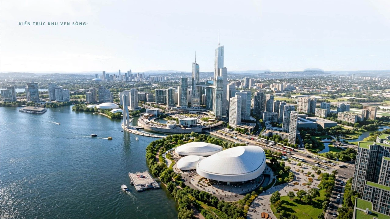 |
| A rendering of the planned mixed-use urban area in An Phuoc commune and Tam Phuoc ward. |
At the conference, representatives of the city’s Land Fund Development Centre (LFDC) and Department of Agriculture and Environment provided information on land acquisition, compensation, assistance and resettlement, along with relevant policies, land price schedules and adjustment coefficients. They also answered questions from households in the planned area.
Speaking at the conference, Nguyen Thi Cat Tien, Vice Chairwoman of the City People’s Committee, said the meeting aimed to help residents gain a better understanding of the project’s scope, nature and development orientations of the area, as well as policies on compensation, assistance and resettlement.
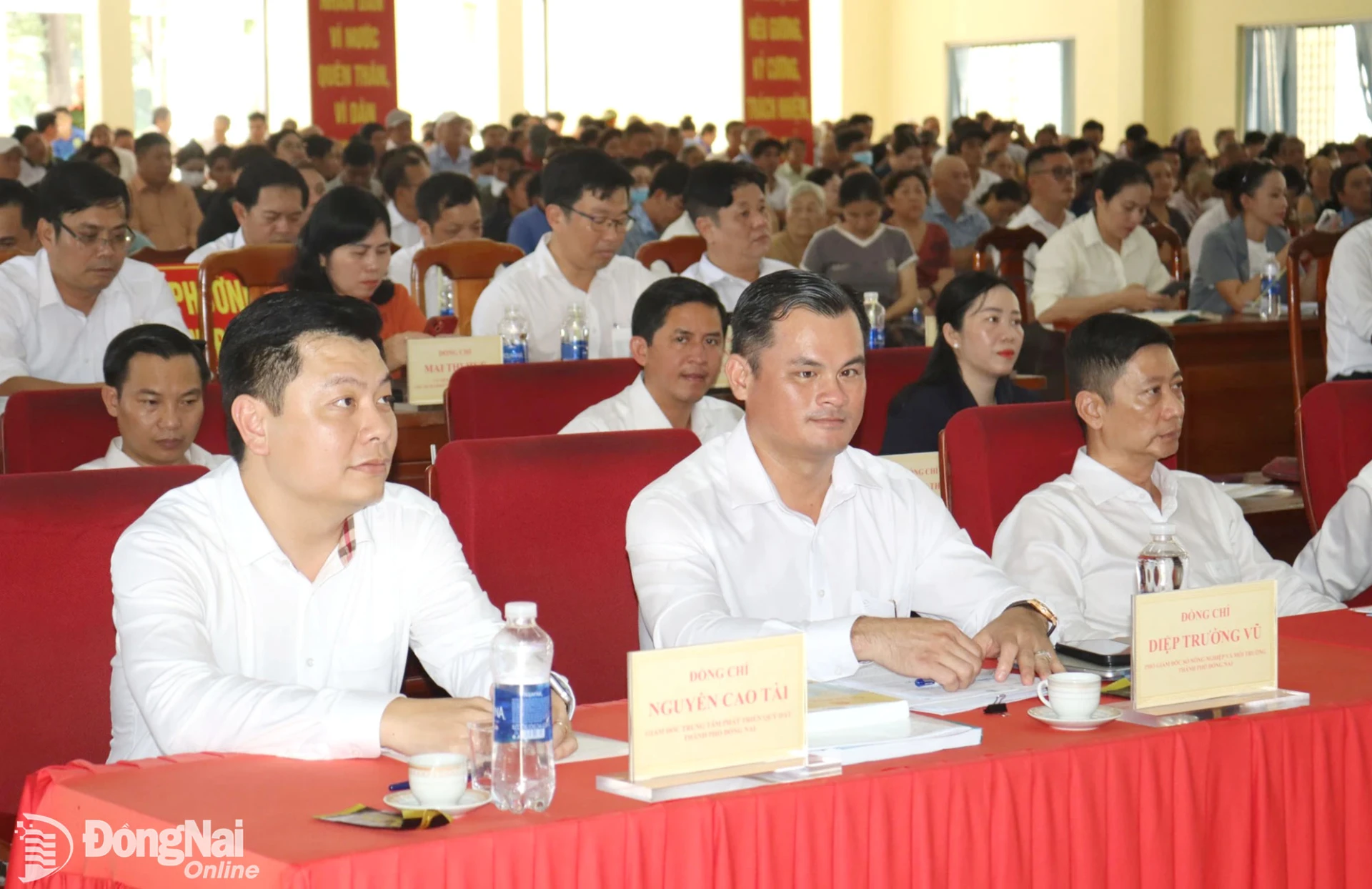 |
| Representatives of relevant agencies and local residents attend the conference. Photo: Hoang Loc |
Tien emphasised that the project is intended to serve the public interest and improve local residents’ living conditions. Land acquisition, compensation, assistance and resettlement must therefore comply with the law and safeguard residents’ legitimate rights and interests. The city will ensure that resettlement areas provide living conditions at least on a par with, or better than, those in residents’ former homes, particularly in terms of infrastructure, transport links and livelihood opportunities. Authorities will also take measures to prevent the abuse of policy incentives, land speculation, illegal land subdivision and unauthorized changes to land-use purposes.
Vice Chairwoman Nguyen Thi Cat Tien instructed the city’s LFDC to coordinate with relevant departments and agencies to review the project boundaries and current land use, and prepare compensation, assistance and resettlement plans. The centre was also tasked with verifying the origins of individual land plots to ensure fairness, accuracy and transparency.
The People’s Committees of An Phuoc commune and Tam Phuoc ward were instructed to disseminate planning information to residents in each residential area, strengthen land-use and construction management, and prevent unauthorised construction ahead of the planned development. They were also asked to maintain channels for receiving and promptly addressing residents’ concerns and feedback. The Vietnam Fatherland Front Committee of Dong Nai City and socio-political organisations will strengthen supervision of the project. Relevant departments and agencies will coordinate with media outlets to provide residents with timely, accurate and accessible information on the planning, related policies and implementation progress, helping ensure transparency and public oversight.
By H.Loc – Translated by M.Nguyet, Thu Ha

Thông tin bạn đọc
Đóng Lưu thông tin