
Bien Hoa Ward has nearly 10 km of frontage along the Dong Nai River, an existing railway line, and connections to strategic transport corridors. It faces a major urban planning challenge: how to make the most of these advantages to develop a new urban structure while preserving the historical heritage, landscapes, and quality of life of the area shaped by generations of development.
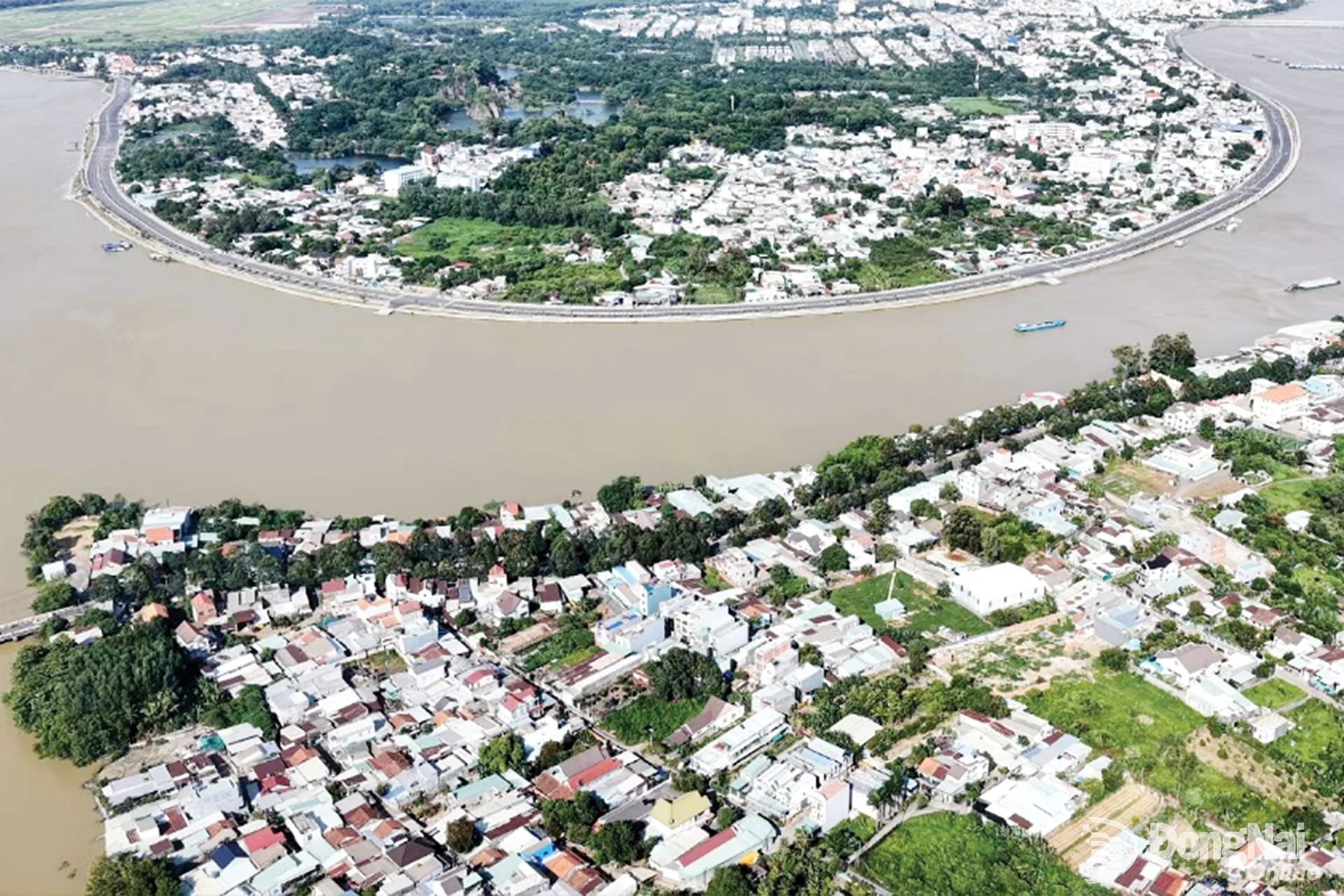 |
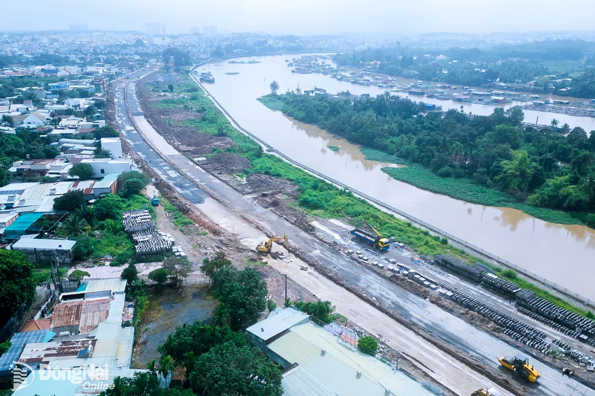
| Panoramic view of the Dong Nai River section flowing through Bien Hoa Ward. Photo: SISP |
Covering approximately 21 square kilometers, with a population of around 84,000, nearly 10 km of frontage along the Dong Nai River, and an existing railway line, Bien Hoa Ward possesses key advantages for developing a distinctive urban space and becoming a hub within the city's multi-center urban structure. The ward also serves as a link between the existing urban area and new development centers, including the Long Thanh Airport urban area.
Planning within new development structure
Politburo Resolution No. 16-NQ/TW, issued on July 21, 2026, on the construction and development of Dong Nai City through 2035, with a vision toward 2065, calls for innovative approaches to planning, the organization of open development spaces, and the establishment of a multi-layered, multi-center urban structure, with river systems and natural ecosystems serving as major landscape axes. Under the resolution, the Dong Nai River is identified as a strategic spatial axis of ecological, cultural, landscape and urban development significance.
The Dong Nai River's value lies primarily in its ecological functions, flood drainage capacity, landscapes, and public spaces. The river also preserves numerous traces of the history of the Bien Hoa–Dong Nai region. Riverside planning, therefore, requires a comprehensive approach. Suitable areas could be considered for the development of parks, squares, boat landings, cultural spaces, service facilities, and urban landmarks. Meanwhile, areas requiring protection to ensure flood drainage, environmental conservation, and ecosystem preservation must be subject to strict controls.
Architect Khuong Van Muoi, former Vice Chairman of the Vietnam Association of Architects, suggested that the Dong Nai River should be regarded as the principal landscape axis of the Bien Hoa urban area. The development of riverside spaces could be integrated with tourism, services, cultural activities, and the public space network.
From another perspective, architect Nguyen Thu Phong, Board Chairman and General Director of Nha Vui, proposed establishing additional green corridors linking the Dong Nai and Cai rivers with the central area. According to Phong, the development and utilization of riverside spaces must go hand in hand with environmental protection, ecological conservation, and flood drainage requirements.
These recommendations underscore a key requirement for the planning project: riverside spaces must be integrated into the overall urban structure rather than developed as isolated projects along the riverbanks. If properly implemented, the Dong Nai River could become an axis connecting landscapes, culture, services, public spaces, and urban life.
New development spaces
Another major advantage of Bien Hoa Ward lies in its transport infrastructure. The existing railway line running through the area, together with its potential connection to future urban railway and metro networks, road and waterway transport systems, and Long Thanh Airport, provides a foundation for studying the development of areas based on the transit-oriented development (TOD) model.
In this new development context, TOD planning must simultaneously address several requirements, including access to public transportation, pedestrian spaces, connectivity among transport modes, urban services, green spaces, housing, employment, and amenities for residents. Areas under consideration include the central area associated with the functional conversion of Bien Hoa 1 Industrial Park; the northwestern area associated with Pho islet and the Dong Nai River landscape; and areas designated for urban expansion, reconstruction, and gateway development.
According to the Southern Institute for Spatial Planning (SISP), public transportation hubs could serve as nuclei for the formation of new commercial, service, and urban areas. If properly organized, TOD areas could fundamentally change how residents access services and move around the city, transitioning it from one heavily reliant on private vehicles toward one with a more efficient public transportation network.
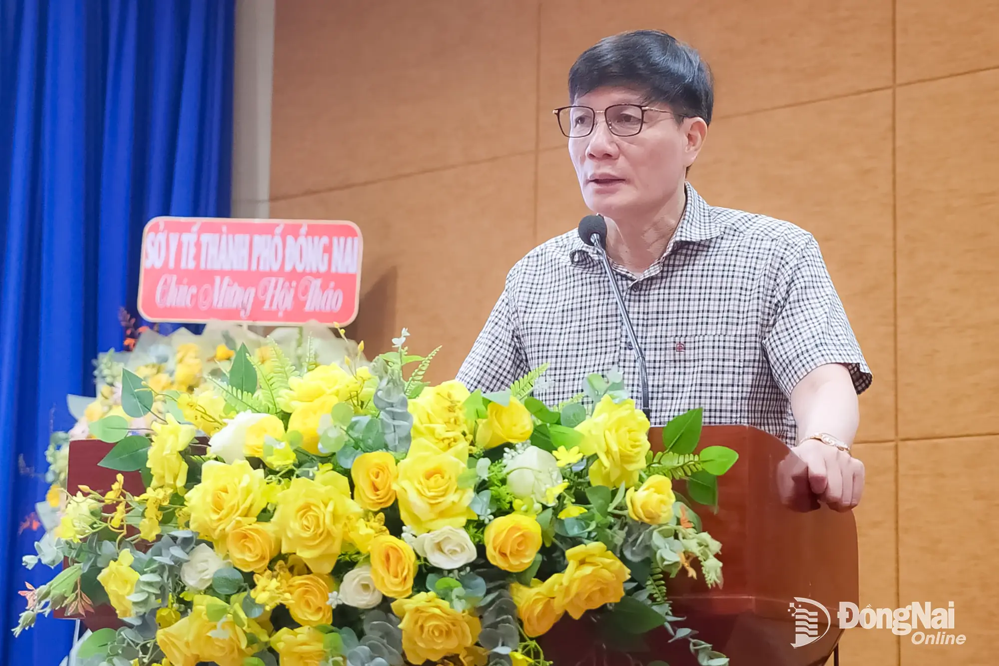
Nguyen Minh Binh, Secretary of the Bien Hoa Ward Party Committee, emphasized that planning should not merely answer the question, "What is this land for?" but must also address a broader issue: "What economic development model will this space serve in the next 10, 20, or 30 years?" He stressed that planning must be both forward-looking and feasible, generate momentum for development without compromising the environment, make effective use of land resources while safeguarding community interests, and attract investment while ensuring discipline, openness, and transparency.
Building on its advantages in terms of the Dong Nai River, railway infrastructure, available land resources, and connections to new development centers, Bien Hoa Ward's planning aims to establish a green, smart, and modern urban space that places public transportation, riverside landscapes, and residents' quality of life at the center of development.
By Hung Cat, Nhat Han – Translated by Minh Hong, Thu Ha

Thông tin bạn đọc
Đóng Lưu thông tin