
Discussing Southern Viet Nam, Dr. Nguyen Thi Hau, General Secretary of the Ho Chi Minh City Association of Historical Sciences, emphasized that the region comprises three basic ecological and cultural subregions. The first is Southeastern Viet Nam, characterized by red soil and ancient alluvium. This subregion encompasses basaltic hills and the Dong Nai and Saigon river basins, where prehistoric communities settled on elevated mounds and ancient alluvial hills and exploited the mangrove forests in Can Gio. The second is Southwestern Viet Nam, characterized by recent alluvial deposits and low-lying flooded areas, encompassing the Mekong Delta and the Long Xuyen Quadrangle. The third comprises islands, trade routes and places of refuge, including Con Dao, Phu Quoc and coastal bays.
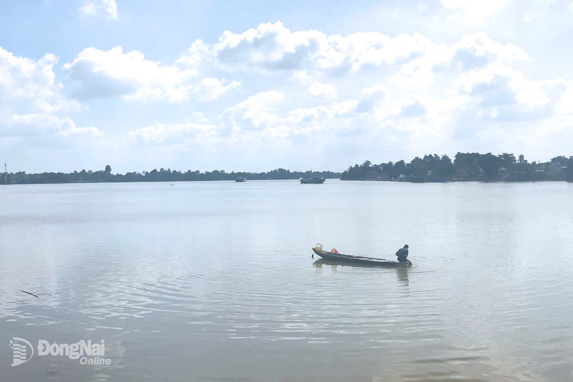 |
| Dong Nai River in Bien Hoa Ward. |
Among these, the Dong Nai River is the largest river system in Southeastern Viet Nam and a vital waterway connecting the Central Highlands, Tri An Lake and the Can Gio mangrove ecosystem. According to Dr. Nguyen Thi Hau, from a textual studies perspective, the familiar folk verse “At Nha Be, the waters divide in two / Those bound for Gia Dinh or Dong Nai, go your way” can be traced to groups of migrants traveling inland from the Can Gio estuary. When they reached the Nha Be river junction, they would stop to rest and wait for the tide. From there, those following the Saigon River would head toward Gia Dinh, while those following the Dong Nai River would head to Cu Lao Pho (Pho Island) in Tran Bien Ward.
Dong Nai is also the name of an archaeological culture dating back approximately 3,500 years. It can therefore be regarded as one of the rivers that helped lay the foundations for one of the earliest civilizations in Southern Viet Nam.
By T.T – Translated by M.Nguyet, Minho



Thông tin bạn đọc
Đóng Lưu thông tin