
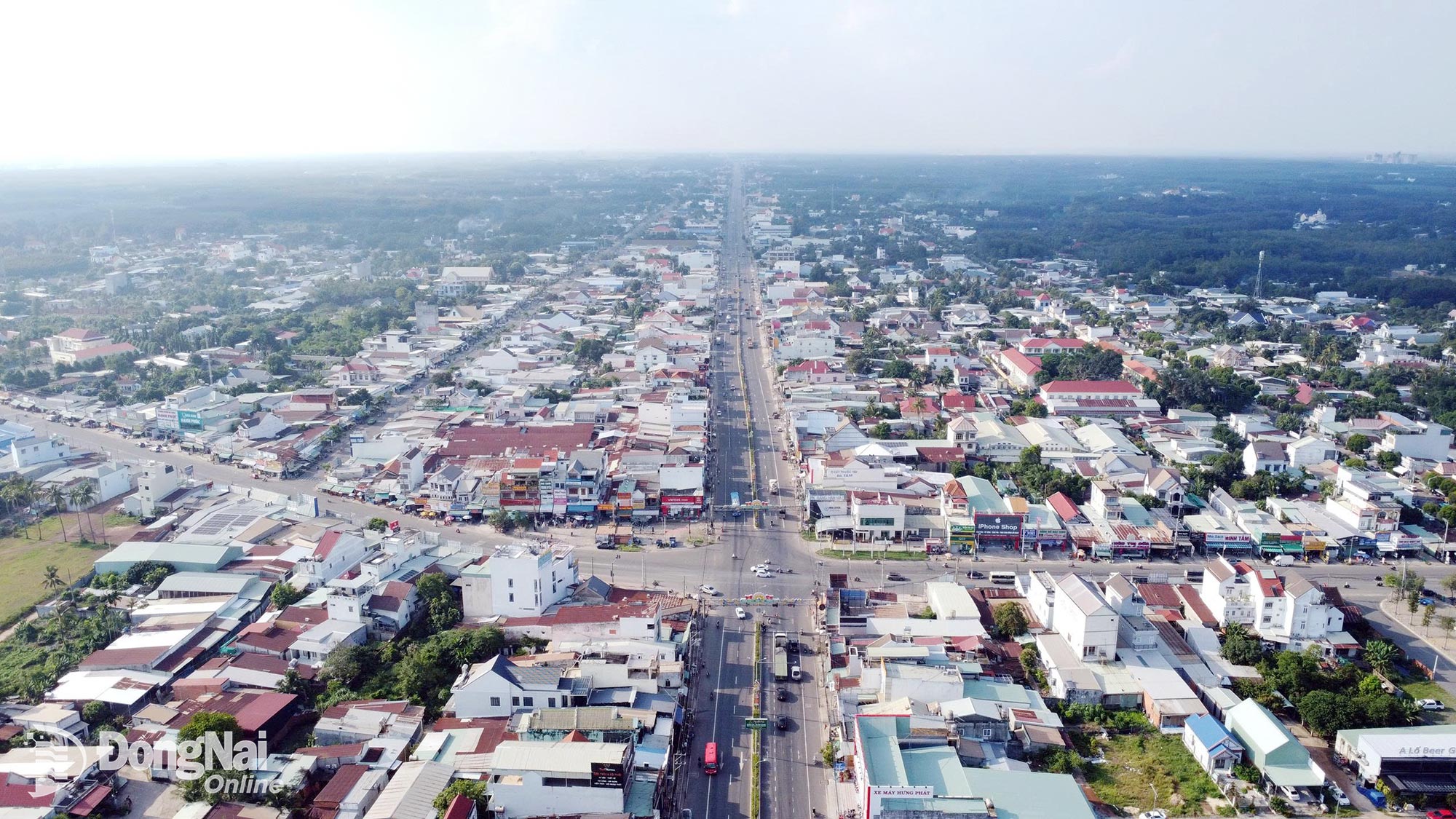
With the goal of turning Dong Nai City into a multifunctional growth pole with a leading role across multiple economic sectors and promoting its strategic central position as an airport city, the central government has identified new strategic corridors in the city's planning.
 |
| These new strategic corridors will play a key role in closely linking the urban economy, aviation economy, border-gate economy and domestic economy. |
At the same time, they will organize development space effectively in an open, flexible and highly adaptive manner based on a multi-centered, multipolar and multi-layered model with synchronized linkages.
4 key development corridors
Dong Nai City possesses a particularly strategic geographical location, serving as a leading growth pole in the southern region as well as in the country's overall development structure. Bordering the “megacity” of Ho Chi Minh City and several provinces in the southern region, while also sharing a border with the Kingdom of Cambodia, Dong Nai City is not only a key area for national defense and security but also a gateway for expanding cross-border trade.
According to urban management master's degree holder Phan Thi An, Deputy Director of the Center for Urban and Rural Architecture and Planning under the National Institute of Architecture (Ministry of Construction), Dong Nai City is positioned as the “heart” of the Southern Key Economic Region. Therefore, the locality is no longer merely a development “satellite” but has sufficient conditions to become an independent growth pole.
Resolution No. 16-NQ/TW, dated July 21, 2026, of the Politburo on building and developing Dong Nai City through 2035, with a vision to 2065, identifies one of the city's development perspectives for the coming period as transforming Dong Nai into a multifunctional growth pole with a leading role in the aviation and aerospace industries, high-tech industries, logistics, border trade, high-tech agriculture and innovation, while leveraging its strategic central position as an “airport city,” connecting globally and developing on a par with major airport cities in the region and internationally.
Regarding planning, the central government has determined that Dong Nai City’s master plan must be capable of leading development, with breakthrough thinking and a 100-year long-term vision, creating a strategic transit space. At the same time, development space should be organized effectively in an open, flexible and highly adaptive manner through new strategic development corridors. These include four key development corridors: Ho Chi Minh City - Bien Hoa urban area - Long Thanh urban area - Phuoc An Port area as an aviation - seaport - logistics - modern services corridor; Bien Hoa urban area - Dau Giay - Tan Phu - Central Highlands as a corridor connecting industry, agriculture, ecotourism, energy and services; Phuoc Long urban area - Dong Xoai - Chon Thanh - Hoa Lu - Cambodia - mainland ASEAN as a border-gate, border trade, cross-border logistics and supporting industry corridor; and Long Thanh urban area - Lam Dong - South Central Coast and Central Highlands as an aviation - seaport - highlands - coastal linkage corridor.
Driving force from connected transport infrastructure
With the key development corridors being defined for the new development period, connected transport infrastructure will play an important role in promoting the formation and development of these corridors.
According to the plan, Phase 1 of Long Thanh International Airport will begin operations at the end of 2026. Long Thanh Airport will not only serve as a transportation connectivity hub but also as the “nucleus” for developing Dong Nai’s airport-city model. Together with the seaport system, particularly Phuoc An Port, Long Thanh Airport will also play an important role in promoting the formation of the city’s new key development corridors.
Meanwhile, a series of expressways, ring roads and urban railways (metros) that have been and are being invested in and constructed will serve as the “lifeblood” in the process of forming new development corridors in Dong Nai City.
Huynh Ho Dai Nghia, a public policy expert at the University of Social Sciences and Humanities, Vietnam National University Ho Chi Minh City, said that Dong Nai City's infrastructure development today should not be viewed merely as a collection of individual transportation projects, but as a process of restructuring the locality's development space. With Long Thanh Airport, the expressway and ring-road systems, Phuoc An Port connected to Cai Mep - Thi Vai Port, together with orientations for railway and metro development, Dong Nai City has the conditions to shift toward a development model based on a strategic infrastructure network. “The important point is that infrastructure not only shortens travel times but also creates new economic spaces”, Huynh Ho Dai Nghia said.
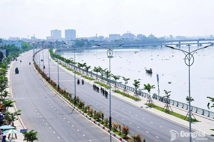
Politburo Resolution No. 16 sets the goal of planning and developing the Dong Nai River into a strategic spatial axis of the city, serving as a central hub for ecology, culture, landscape and urban development; effectively exploiting its potential for waterway transportation, connecting growth poles and promoting the sustainable development of economy, services and tourism.
By Pham Tung - Translated by Diec Quyen, Thu Ha


Thông tin bạn đọc
Đóng Lưu thông tin