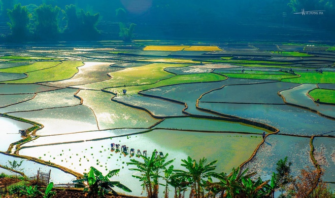
Besides O Quy Ho Pass, travelers are also attracted by the Muong Thanh green fields and the picturesque Pu Dao village.
Besides O Quy Ho Pass, travelers are also attracted by the Muong Thanh green fields and the picturesque Pu Dao village.
The administrative center of Lai Chau.
O Quy Ho Pass, connecting two northern provinces of Lao Cai and Lai Chau. The pass is nearly 50 kilometers long encompassing two thirds of Lai Chau's Tam Duong District, and one third of Lao Cai's Sapa District. Tourists will have to cover a few kilometers from Hoang Lien National Park gate to come to the top of O Quy Ho Mountain considered the border between Lao Cal and Lai Chau.
Muong Thanh field in Than Uyen district.
Lai Chau Hydropower in Nam Hang commune, Muong Te district.
Sin Ho plateau, which is called the second Sapa of Vietnam.
The confluence of the two rivers of Da and Nam Na.
In addition, Lai Chau has a lot of destinations as Pu Sam Cap Cave, the villages of Na Luong, Hon, Vnag Pheo, Tac Tinh Waterfall, Vang Po hot springs, Pu Ta Leng peak - the second roof of Indochina and Bach Moc Luong Tu mountain.
|
| |
(Source:VNE/VNN)


