Dai Lanh lighthouse, Xuan Dai bay and Diep Son island in Khanh Hoa and Phu Yen provinces emerge majestically under the lens of Vietnamese travel blogger Ngo Tran Hai Anh. Most of the photos were taken by a drone to get wide-angle shots from a bird-eye view.
Dai Lanh lighthouse, Xuan Dai bay and Diep Son island in Khanh Hoa and Phu Yen provinces emerge majestically under the lens of Vietnamese travel blogger Ngo Tran Hai Anh. Most of the photos were taken by a drone to get wide-angle shots from a bird-eye view.
 |
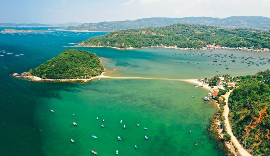
| The above picture is the foot of Ro Tuong pass, about 11 km from Ninh Hoa town, Khanh Hoa province. It overlooks Hon Vung island and a peaceful fishing village. |
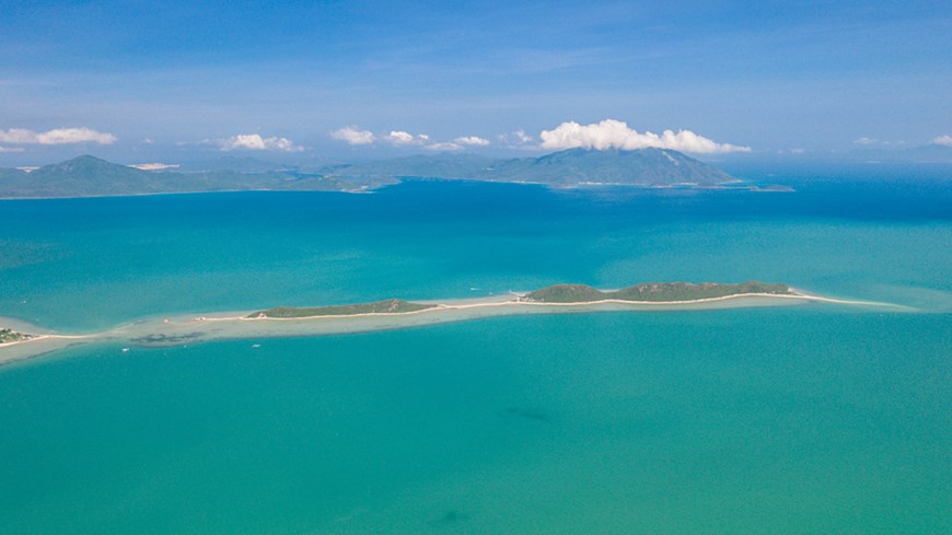 |
| Lying in the calm, warm waters of Van Phong Bay, just an hour north of Nha Trang, Diep Son is a mini-archipelago of small green islands. At low tide, a curving sandbar is exposed, linking three of the islets via a ‘sand bridge’. |
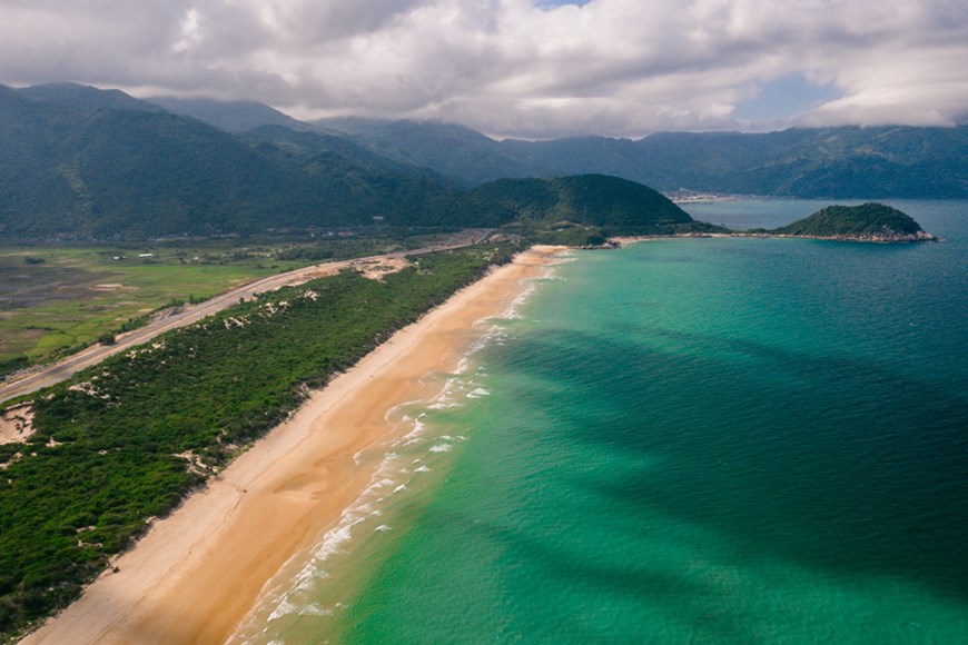 |
| Route to Cape Doi, the easternmost point of Vietnam, where the first sunrise appears. The cape belongs to Dam Mon fishing village located on Hon Gom peninsula of Van Phong Bay, Van Ninh District, Khanh Hoa province, about 80km north of Nha Trang city. |
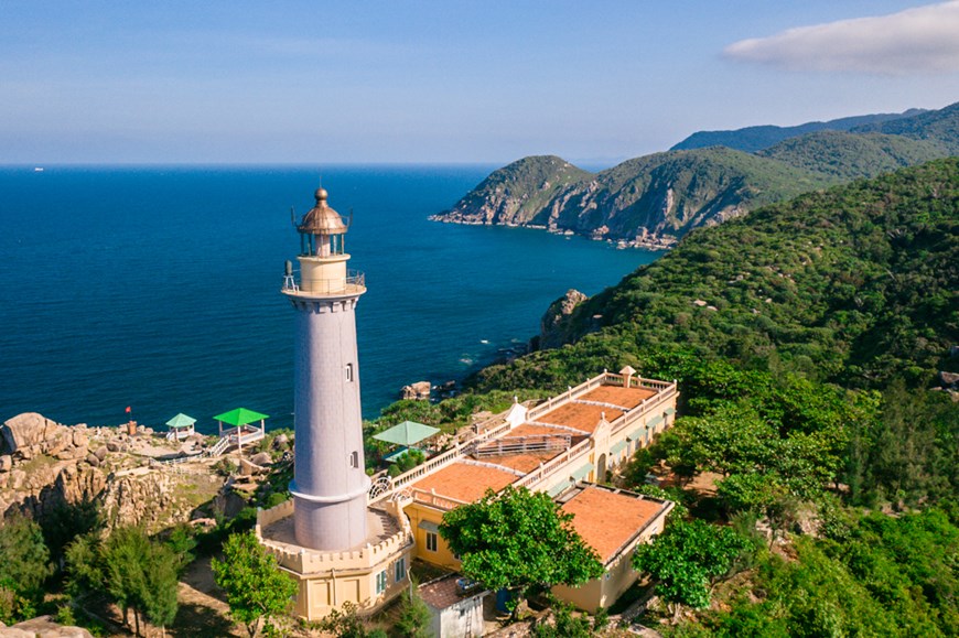 |
| A close view of Dai Lanh lighthouse, which was built by the French in 1890. It measures 26.5m and rises 110m above sea level and helps orient ships passing nearby Ro Bay. |
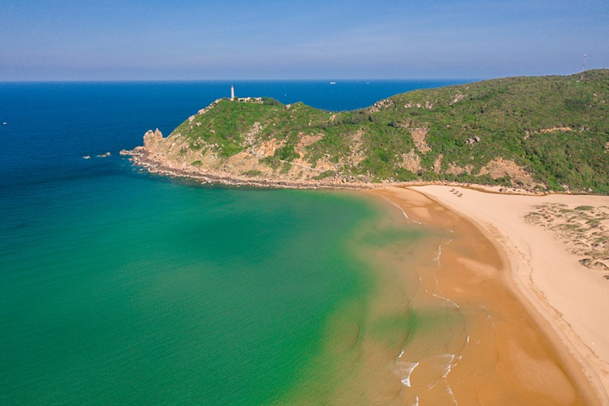 |
| A bird-eye view of Dai Lanh lighthouse. The lighthouse was severely damaged during wartime and was re-opened in 1995. It is one of eight lighthouses aged over 100 years in Vietnam. (Source: Vnexpress)A bird-eye view of Dai Lanh lighthouse. The lighthouse was severely damaged during wartime and was re-opened in 1995. It is one of eight lighthouses aged over 100 years in Vietnam. |
 |
| Hon Yen is one of the unique islands of Phu Yen which is shaped like a square pyramid and is made up of basalt blocks, but it still remains intact as it has not been exploited much by humans. |
 |
| In the calm waters of Van Phong Bay, the islands of Diep Son are linked by a ‘sand bridge’. |
(Source: VNA)


