
Nho Que River originates in Yunnan Province (China), flows into Vietnam through Seo Lung in Lung Cu Commune, Dong Van District, Ha Giang Province.
Nho Que River originates in Yunnan Province (China), flows into Vietnam through Seo Lung in Lung Cu Commune, Dong Van District, Ha Giang Province.
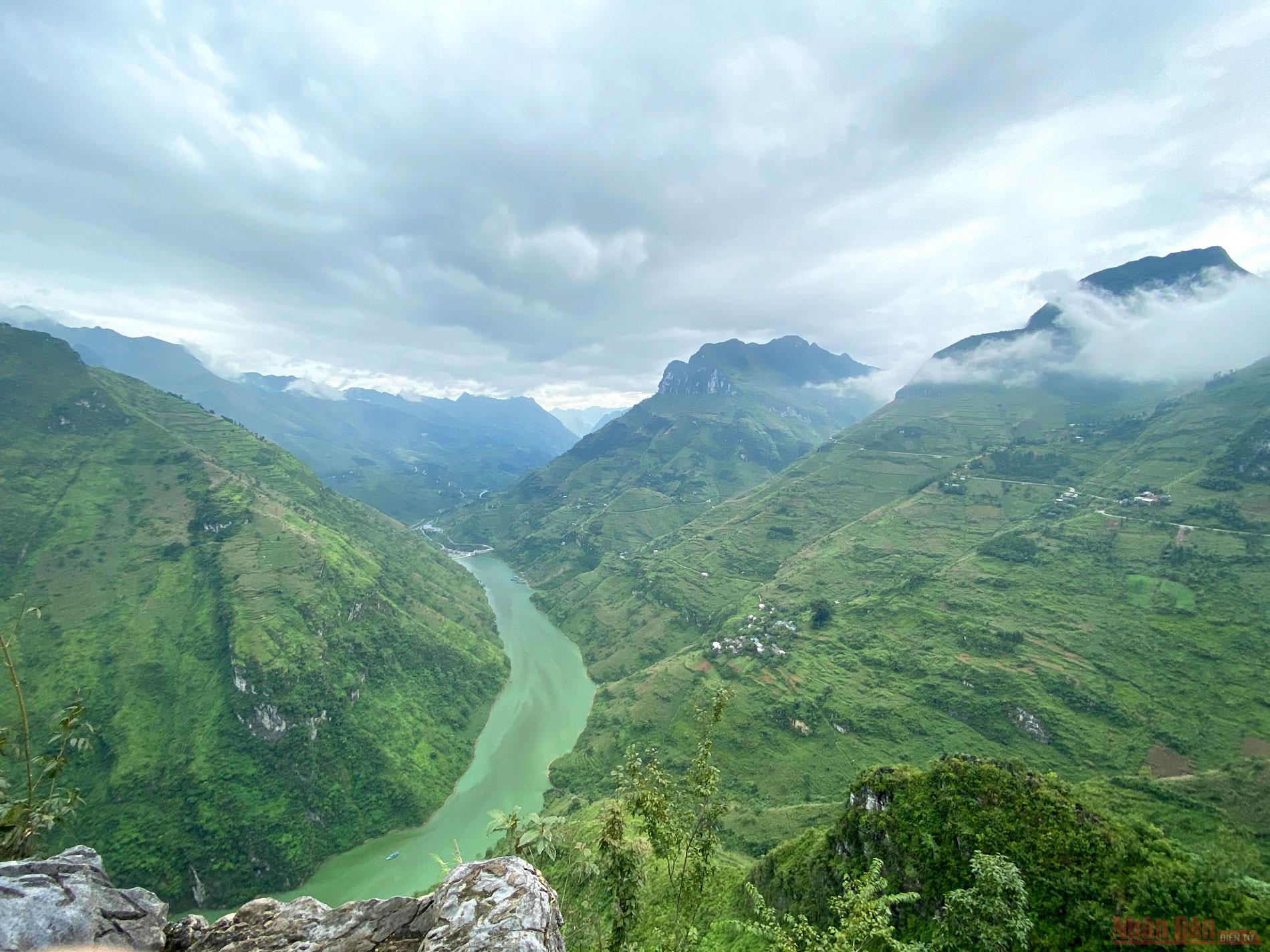
The typical green colour on the deep black rocky plateau creates a special river. More than a tourist attraction, the border river marked the hallmark of many generations of Vietnamese, who protected sovereignty in border areas.

 |
| Nho Que River and Tu San Canyon as viewed from the Ma Pi Leng Pass. The three landscapes create the most majestic scenery in Vietnam, considered as the highlight along the panorama of the Dong Van stone plateau. The "classic" corner is also considered a “must-to -go” corner of every tourist when visiting Ha Giang. |
Nho Que River as seen from a corner of the road to Ta Lang Village, Lai Lung Commune, Meo Vac District. The river stands out from a steep winding road, which is considered to be a challenge for anyone who wants to claim it as a "rider".
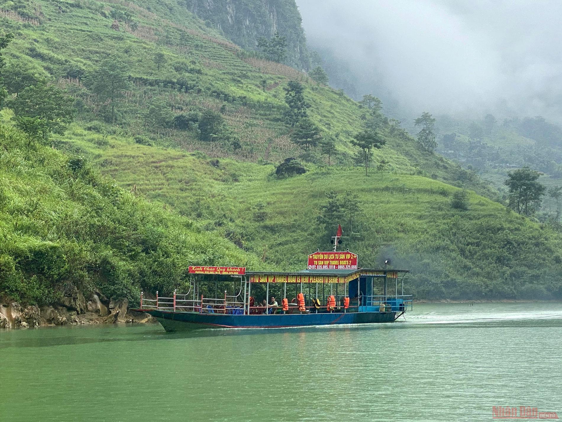
Boat services on Nho Que River have just been developed in recent years. Visitors can choose to go downstream from Ta Lang Boat Station or go upstream from the boat station of Xin Cai Commune (Meo Vac District).
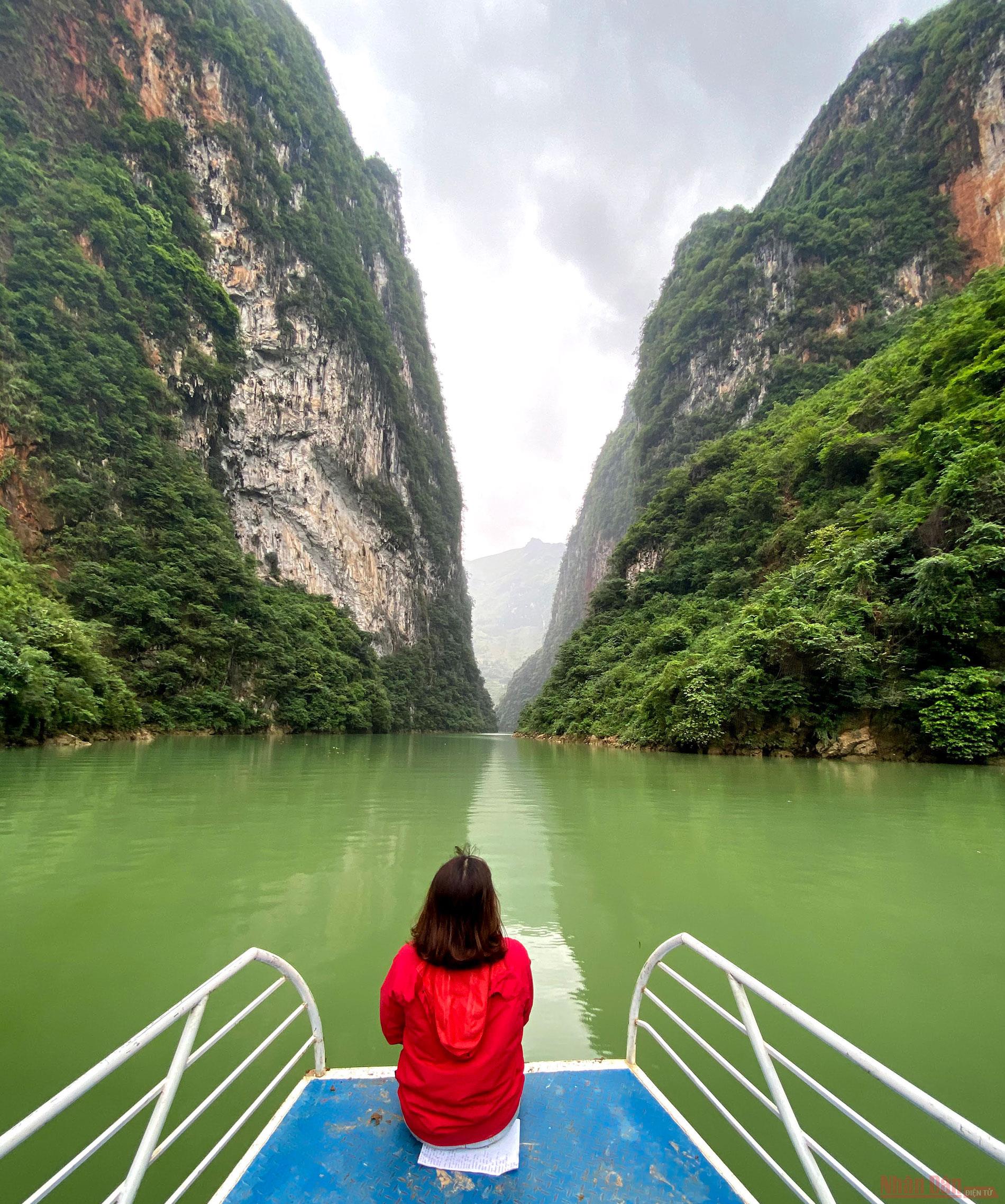
Taking a boat ride or kayaking on Nho Que River offers visitors a special feeling when visiting Tu San Canyon, with a depth of between 7-900 metres and a length of about 1.7 kilometres.
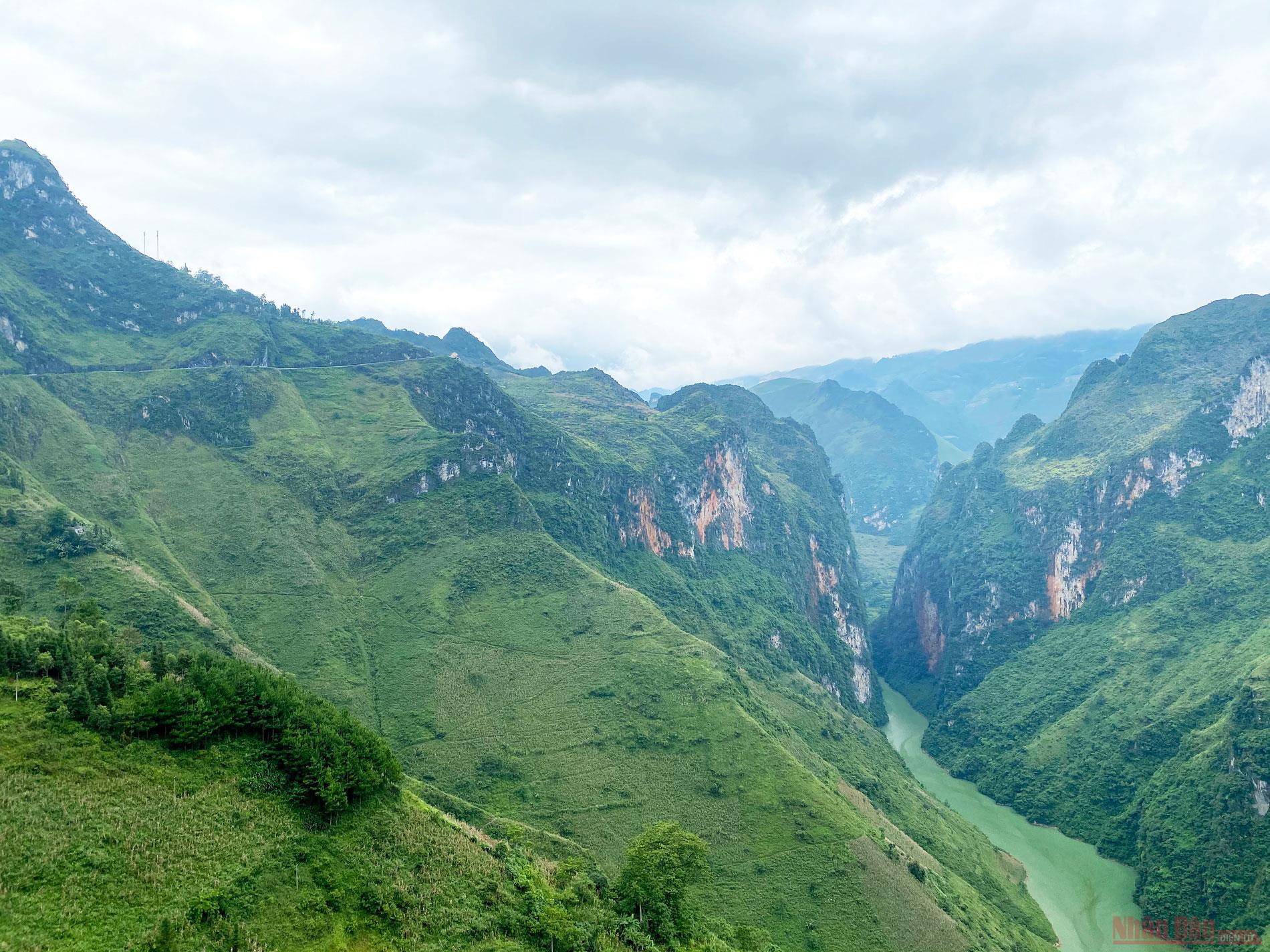
Tu San Canyon as viewed from Hanh Phuc (Happy) Street. In 2013, the master plan was announced on preserving and upgrading Vietnam’s first geological park, the Dong Van Stone Plateau, during the 2012-2020 period, with a vision to 2030. Accordingly, in the Dong Van Stone Plateau Global Geological Park project, a cable car system will be built to serve guests in admiring Tu San Canyon and the Nho Que River valley.
(Source: Nhan Dan)


