The surface of Mars
The surface of Mars
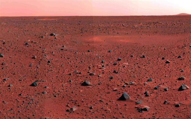 |
| A January 2004 image mosaic taken by the Mars Exploration Rover Spirit's panoramic camera shows a slice of martian real estate southwest of the rover's landing site. |
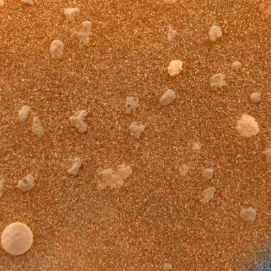 |
| A magnified look at the martian soil near the Mars Exploration Rover Opportunity's landing site, Meridiani Planum, shows coarse grains sprinkled over a fine layer of sand, February 2004. The image roughly approximates the color a human eye would see. |
 |
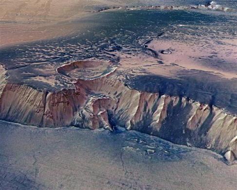
| A cliff, up to 4,000 m high, located in the eastern part of Echus Chasma, one of the largest water source regions on Mars, July 2008. Echus Chasma is the source region of Kasei Valles which extends 3,000 km to the north. |
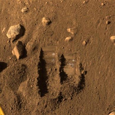 |
| NASA's Phoenix Mars Lander's Surface Stereo Imager shows two trenches dug by Phoenix's Robotic Arm in June 2008. |
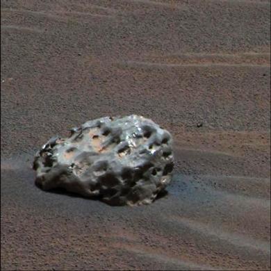 |
| An iron meteorite on Mars in an image taken by NASA's Mars Exploration Rover "Opportunity" in January 2005. |
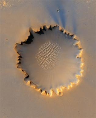 |
| Mars' Victoria Crater at Meridiani Planum in an image taken by NASA's High Resolution Imaging Science Experiment camera and released October 6, 2006. |
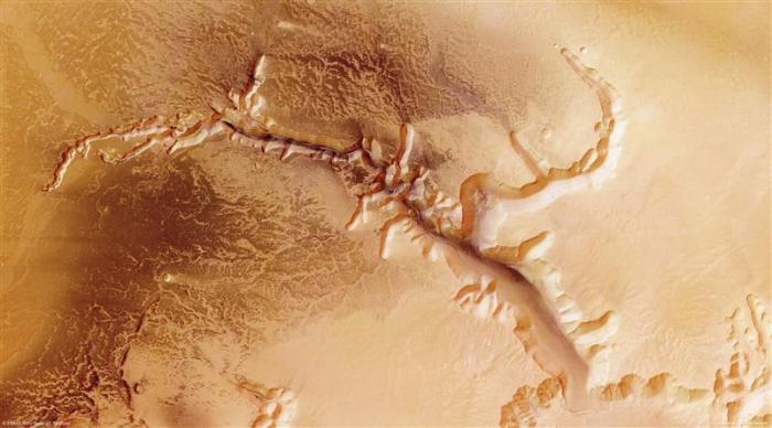 |
| Images taken by ESA's Mars Express of Echus Chasma in July 2008. Echus Chasma is an approximately 100 km long and 10 km wide incision in the Lunae Planum high plateau north of Valles Marineris, the Grand Canyon of Mars. |
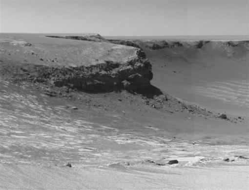 |
| Rocky cliffs in the foreground named "Cape Verde" are seen in this image taken by Mars Exploration rover in 2006. |
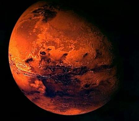 |
| A visualisation of Mars, created from spacecraft imagery by the European Space Agency. |
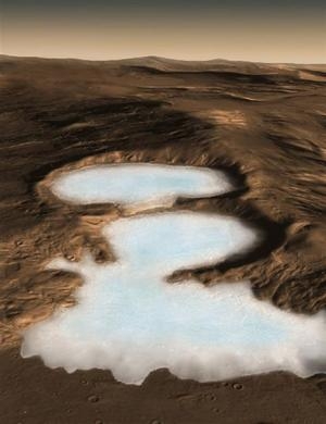 |
| An artist's conception shows Martian glaciers of water ice under protective blankets of rocky debris at much lower latitudes than any ice previously identified on the Red Planet. Image released November 2008. |
 |
| This image, cropped from a larger panoramic image mosaic taken by the Mars Exploration Rover Spirit panoramic camera, released by in March 2004, shows the rover's destination toward the hills nicknamed the "Columbia Hills." |
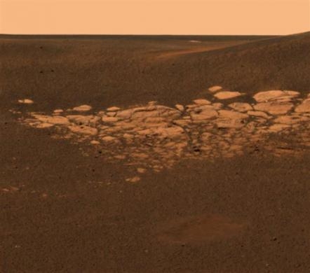 |
| A high-resolution image, using data from the NASA Mars Exploration Rover Opportunity's panoramic camera's near-infrared, blue and green filters combined to create an approximate true-color image, highlights the puzzling rock outcropping that lies to the northwest of the rover, January 28, 2004. |
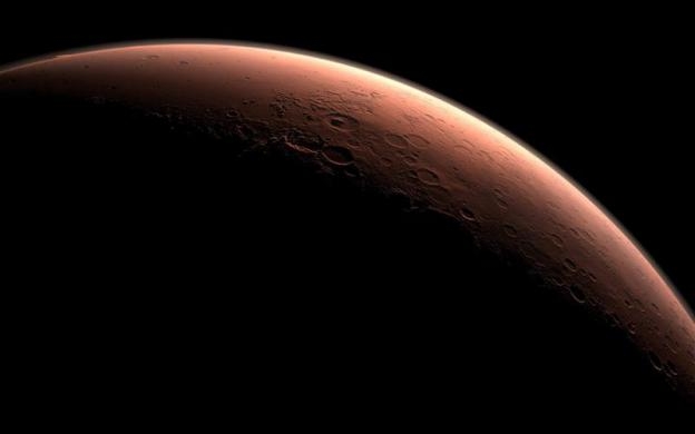 |
| A computer-generated image depicting part of Mars at the boundary between darkness and daylight, with an area including Gale Crater, beginning to catch morning light. Image released August 2011. |
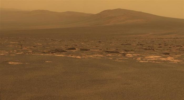 |
| A portion of the west rim of Endeavour crater sweeps southward in this color view from NASA's Mars Exploration Rover Opportunity released in August 2011. |
(Source: Reuters)


