The joint venture of investors, DonaCoop Infrastructure Investment Joint Stock Company and VinaCapital Group, has officially proposed a route plan for the Project to extend the Ben Thanh - Suoi Tien metro line to Tran Bien, Long Thanh International Airport (airport), and develop a TOD urban model under the public-private partnership (PPP) format.
 |
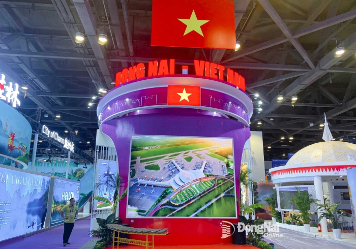
| The joint venture of investors propose a route plan for the Project to extend the Ben Thanh - Suoi Tien metro line to Tran Bien, Long Thanh Airport. |
Five options for two connecting sections to Long Thanh Airport
According to a representative of the consulting unit, Southern Transport Design Consulting Joint Stock Company (TEDI SOUTH), the Project to extend the Ben Thanh - Suoi Tien metro line to Tran Bien, Long Thanh Airport, has a total length of about 38.5km, expected to include 3 sections: The line from the S0 station to the new administrative center of Dong Nai province (Bien Hoa 1 Industrial Park) is about 6.5km; the section from the new administrative center of Dong Nai province to the central arterial road of former Bien Hoa city is about 5km, and the section from the new administrative center of Dong Nai province to Long Thanh Airport is about 27km.
In particular, the section from the S0 station, Dong Hoa ward, Ho Chi Minh City, to the new administrative center of Dong Nai province is expected to be implemented overhead to reduce construction costs. This section will have more than 1km running through Ho Chi Minh City.
For the section from the new administrative center of Dong Nai province to the central arterial road of former Bien Hoa city, due to passing through a densely populated urban area, it is expected to be built underground.
For the section from the new administrative center of Dong Nai province to Long Thanh Airport, the starting point will be at S2.4 station, the new administrative center of Dong Nai province, and the end point will connect with the Thu Thiem - Long Thanh railway line, Long Thanh commune, Dong Nai province, to enter Long Thanh Airport.
According to the investor joint venture, the project to extend the Ben Thanh – Suoi Tien metro line to Tran Bien and Long Thanh Airport has a total estimated investment of around 65 trillion VND, excluding site clearance costs. Land clearance will be carried out by the State.
According to the representative of TEDI SOUTH, two sections of the proposed route are currently under consideration for investment planning. One of these passes through the military land managed by Brigade 972 (under the Department of Transport and Vehicles, General Department of Logistics and Engineering) in Long Hung Ward, Dong Nai Province. For this section, the consulting unit has proposed two route alignment options: one cutting directly across the military zone (approximately 2 km in length and consistent with the draft adjusted master plan for Bien Hoa City to 2045, currently under review), and another bypassing the area, with a route length of more than 4 km.
As for the final section of the line, since Long Thanh Airport does not have reserved land for additional rail corridors, the extension is expected to connect to the Thu Thiem – Long Thanh railway outside the airport premises. For this section, the consulting unit has proposed three routing options.
Option 1: The line passes through the Road 319 intersection, turns left, and runs parallel to the left of the North–South high-speed railway. After crossing National Highway 51, it connects to Station S17 of the Thu Thiem – Long Thanh railway (7.7 km in length); Option 2: After passing through the Road 319 intersection, the line turns left and runs parallel to the left of the North–South high-speed railway, then turns right, crosses the high-speed railway and Provincial Road 769, follows Ba Ky Canal, and connects to Station S16 (8.7 km in length); Option 3: The line crosses the Road 319 intersection, continues straight across the North–South high-speed railway, follows Road 319 and Tran Phu Road, and then connects to Station S14 (11.6 km in length).
Prioritizing the shortest route option
Among the proposed options for the two sections of the central administrative route from Dong Nai province to Long Thanh Airport, TEDI SOUTH representatives also presented recommended choices. Specifically, for the section passing through national defense land (Long Hung ward, Dong Nai province), the consulting unit recommended choosing the option that cuts across the land to reduce the length by more than 2km compared to the around-traveling option.
 |
| The investor consortium proposed a route option for the project to extend the Ben Thanh - Suoi Tien metro line to Tran Bien, Long Thanh Airport. Photo: File photo |
"Because the line runs elevated, it will not divide the land area, and the project's occupied corridor is only about 20m," TEDI SOUTH representatives analyzed.
For the end section of the line, option 2 was recommended because it conveniently connects to the Thu Thiem - Long Thanh railway line and has low construction investment costs. Regarding the connection length to Long Thanh Airport, option 2 is about 2.9km shorter than option 3 and only about 1km longer than option 1.
According to Deputy Director of the Department of Construction Duong Van Hieu, with the options proposed by the consulting unit, the Department of Construction agrees with the shortest project route option. Therefore, for the section passing through military land belonging to the route connecting to Long Thanh Airport, the investor needs to coordinate with the Department of Construction to finalize the document advising the Provincial People's Committee to work with the Ministry of National Defense.
On behalf of the Provincial People's Committee, Provincial Party Committee member and Vice Chairman of the Provincial People's Committee Ho Van Ha assigned the Department of Construction to coordinate with the investor consortium and consulting unit to study and resolve any issues related to national defense land and planning, if they arise. At the same time, the Provincial People's Committee will submit a formal request for a working session with the Ministry of National Defense regarding the project’s route alignment.
By Pham Tung – Translated by Mai Nga, Minho


![[Photo series] Admiring the most beautiful riverside road in Dong Nai before its technical traffic opening](/file/e7837c02876411cd0187645a2551379f/012026/nen_20260114174655.jpg?width=500&height=-&type=resize)
Thông tin bạn đọc
Đóng Lưu thông tin